79°mostly cloudy
Your day
A mild, gray start turns warm and sunny by afternoon, with highs in the mid 70s and a gray evening. A slight chance of a shower arrives late tonight, but it's an easy day for outdoor plans.
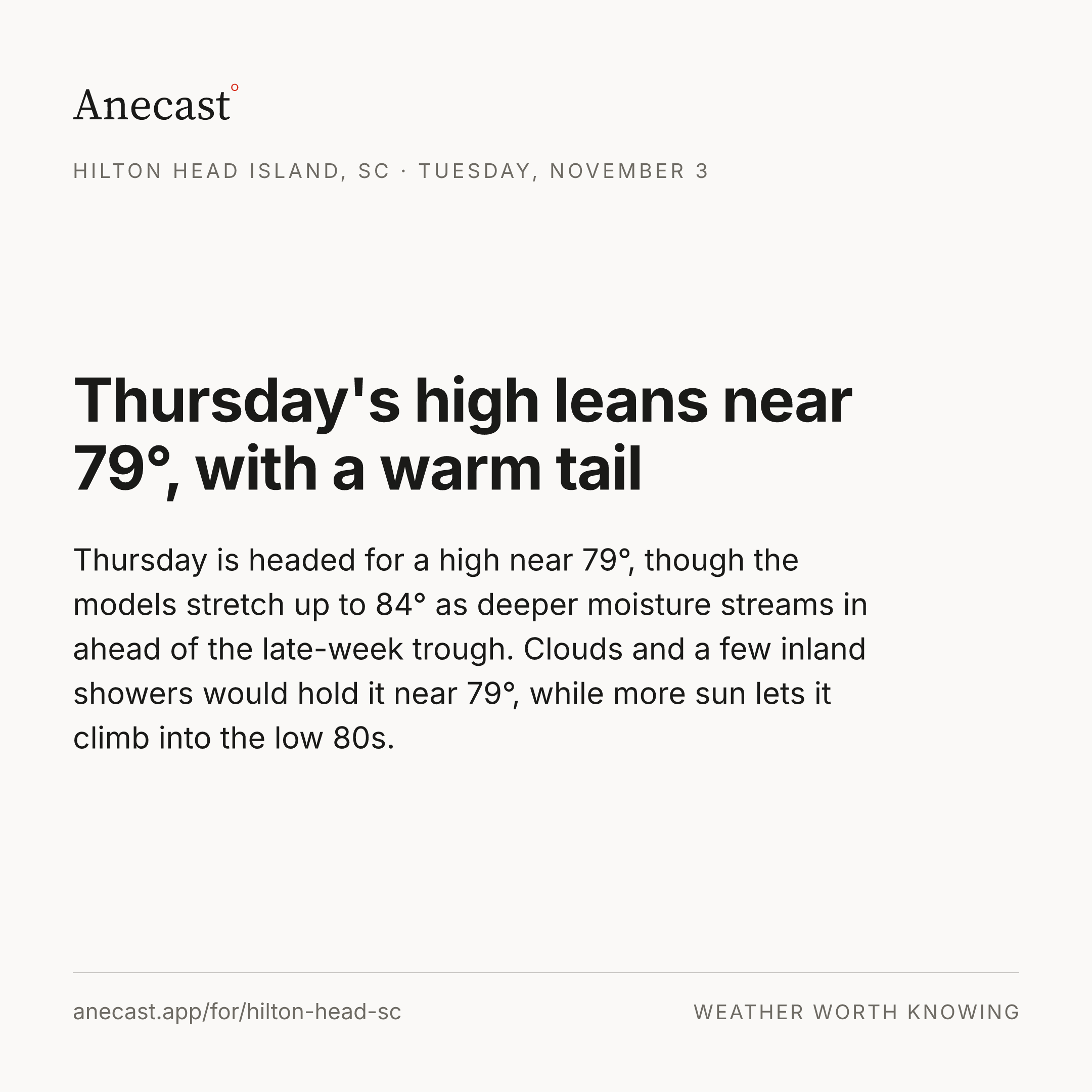
Thursday is headed for a high near 79°, though the models stretch up to 84° as deeper moisture streams in ahead of the late-week trough. Clouds and a few inland showers would hold it near 79°, while more sun lets it climb into the low 80s.
Changed since yesterday
Holding steady — no day's high or rain chance moved since yesterday's edition.
Next five days · the Anecast forecast
| Tue | Wed | Thu | Fri | Sat | |
|---|---|---|---|---|---|
| High | 78° | 78° | 79° | 79° | 77° |
| Low | 69° | 68° | 67° | 61° | 58° |
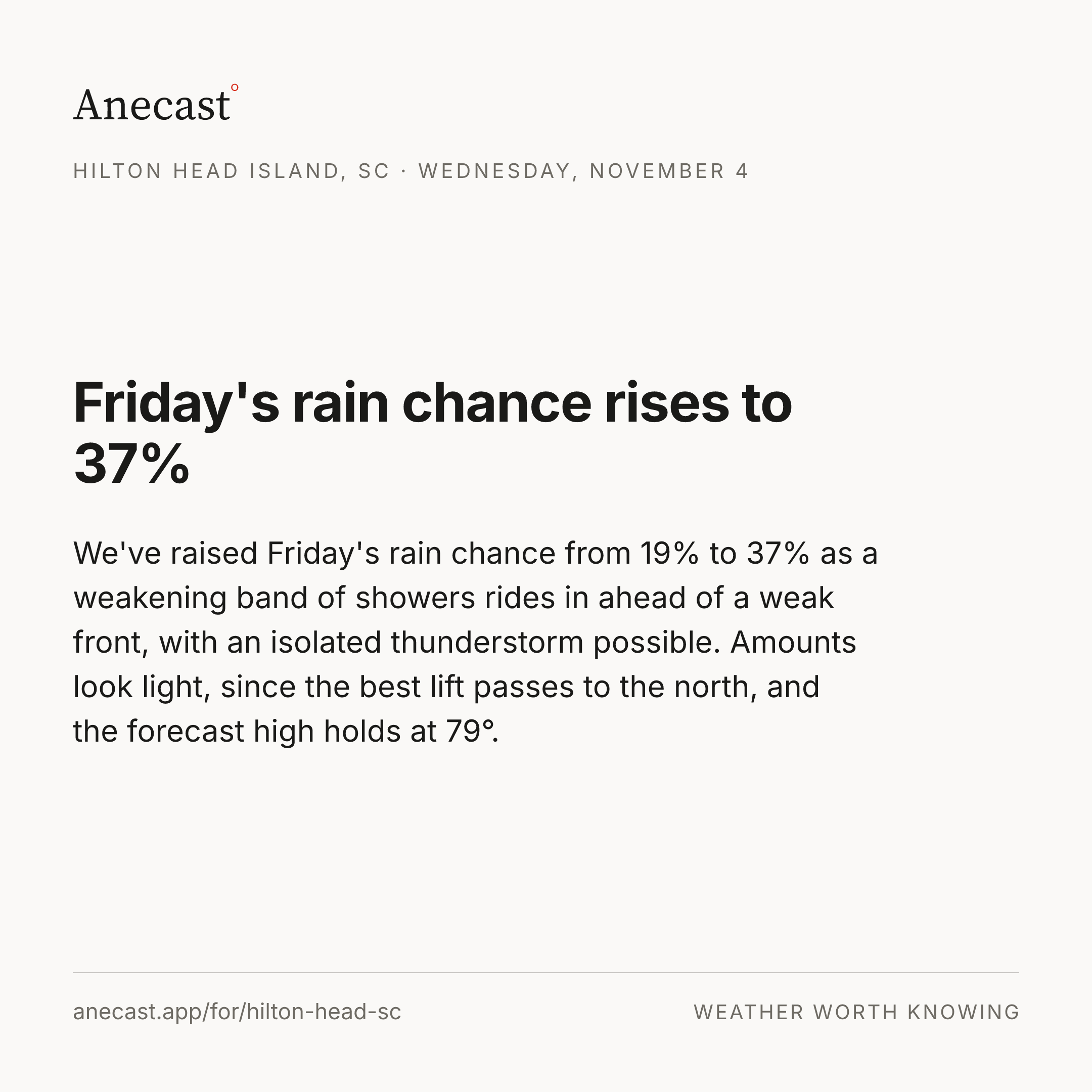
| Precip | 17% | 5% | 9% | 19% | 7% |
The week, as the models see it
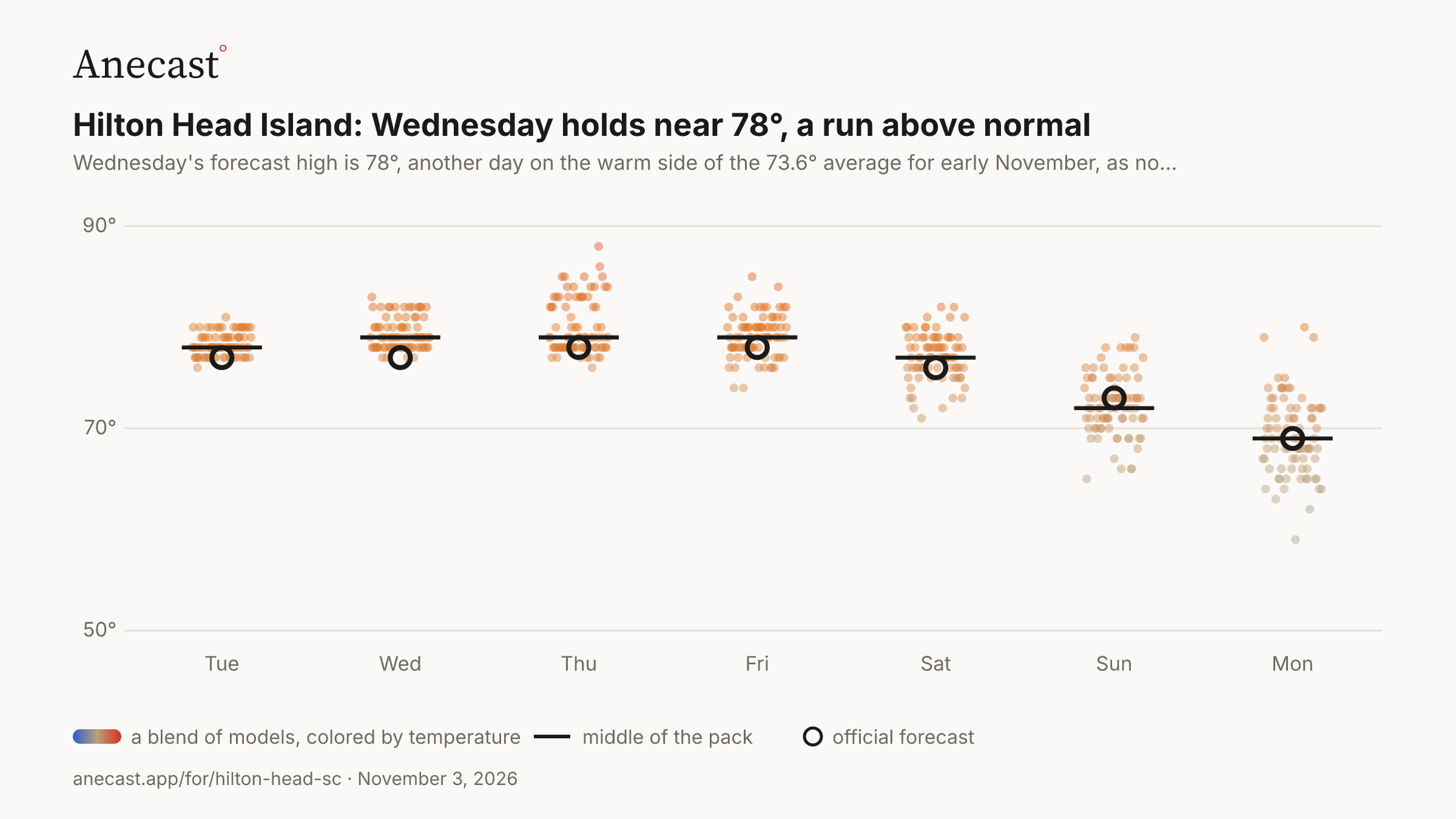
Thursday's high leans near 79°, with a warm tail — the models span 74–85° on Fri, most near 79°.
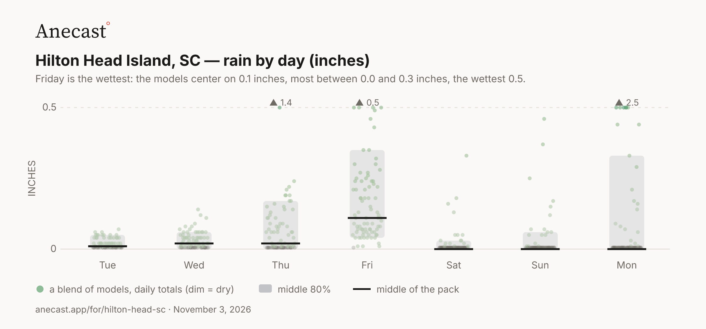
Friday is the wettest: the models center on 0.1 inches, most between 0.0 and 0.3 inches, the wettest 0.5.
| Stat | Value | Year(s) |
|---|---|---|
| record high for day | 84.9 | 1961, 1972, 2004 |
| record low for day | 24.1 | 1954 |
| average high for day | 73.6 | — |
| average low for day | 51.2 | — |
| warmest low for day | 70 | 2015 |
| coldest high for day | 50 | 1966 |
| largest temp swing for day | 38.9 | 1965 |
Wednesday's forecast high is 78°, another day on the warm side of the 73.6° average for early November, as no front reaches the coast before the weekend. Most of the models keep it between 78° and 82°.
Once Friday's cold front clears the coast, drier air moves back in, and Saturday's forecast high eases to 77°. The weekend carries no rain in the outlook.
‹The scorecard · this week›
Know when Hilton Head Island's forecast changes
Missing your city?