32°light snow and fog/mist
Alerts · National Weather Service
Your day
Light snow through early afternoon, tapering by evening as temperatures fall below freezing. Sierra passes carry winter travel conditions, and Tuesday offers a dry window before heavier midweek snow.
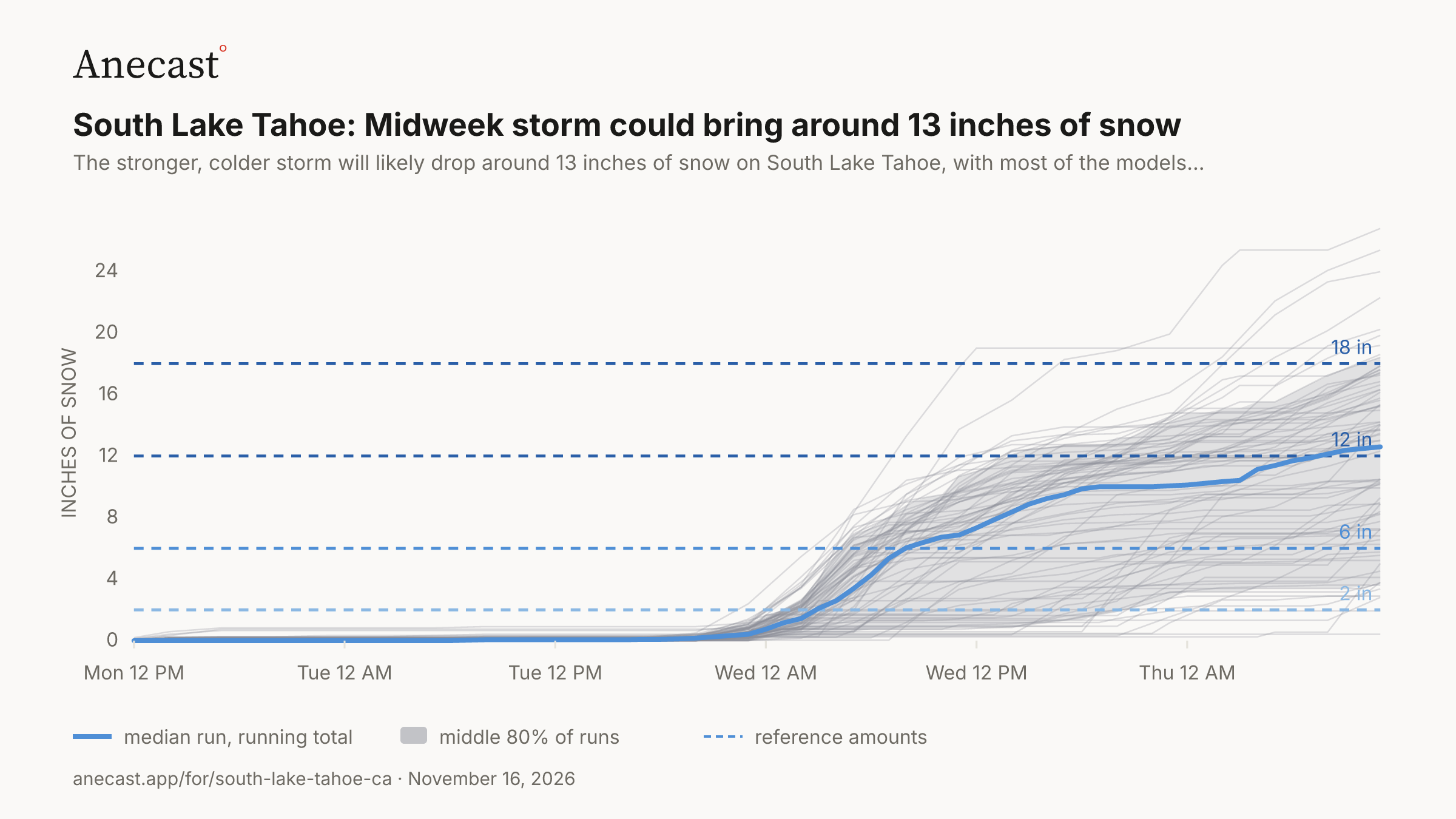
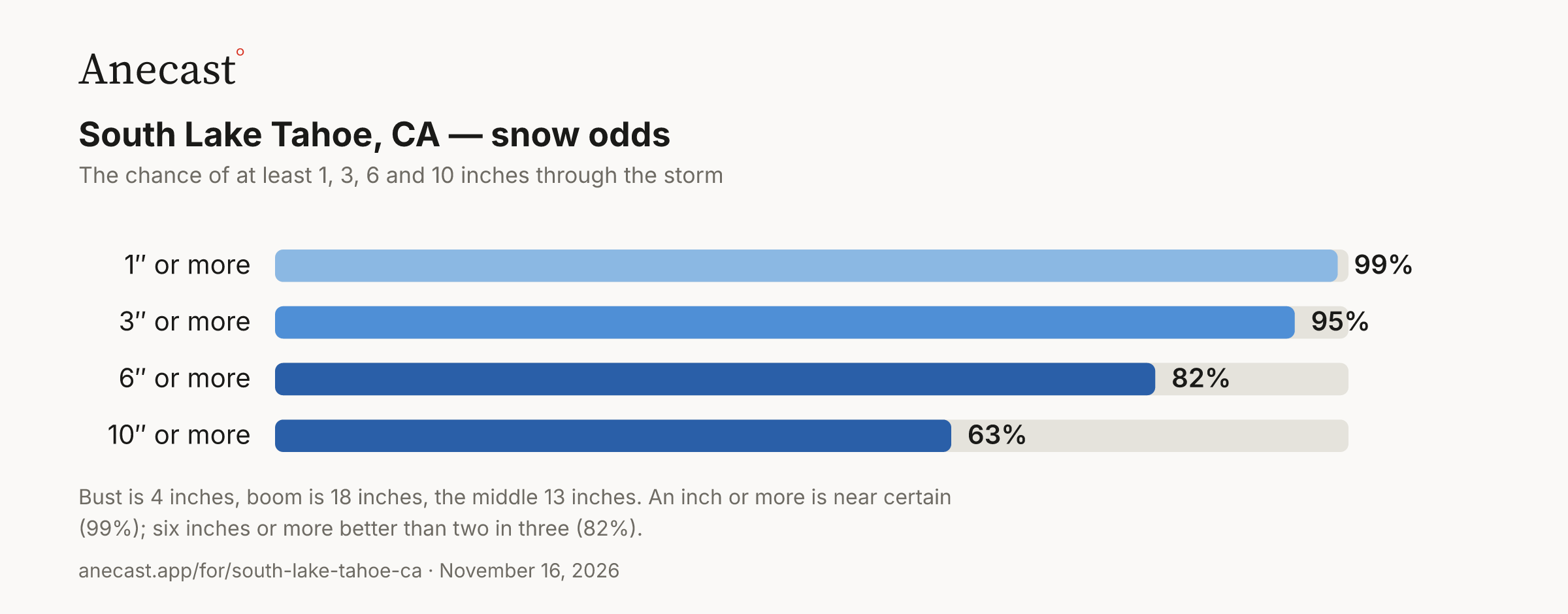
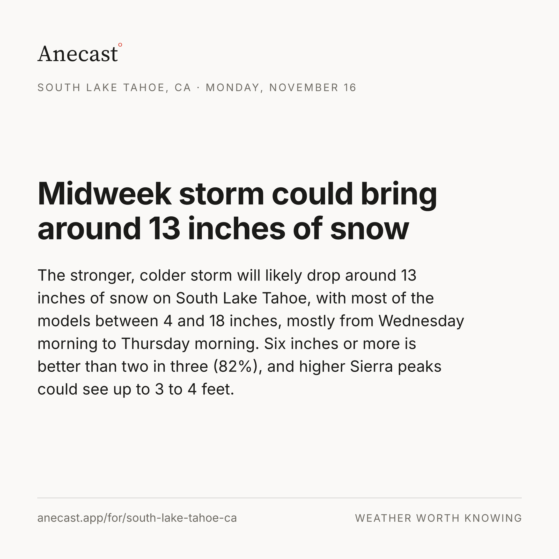
The stronger, colder storm will likely drop around 13 inches of snow on South Lake Tahoe, with most of the models between 4 and 18 inches, mostly from Wednesday morning to Thursday morning. Six inches or more is better than two in three (82%), and higher Sierra peaks could see up to 3 to 4 feet.
Next five days · the Anecast forecast
| Mon | Tue | Wed | Thu | Fri | |
|---|---|---|---|---|---|
| High | 39° | 35° | 35° | 34° | 35° |
| Low | 15° | 18° | 22° | 15° | 14° |
| Precip | ❄ 95% | ❄ 94% | ❄ 100% | ❄ 98% | ❄ 21% |
| Wind (mph) | 5 | 20gusts | ≋ 40gusts | 0–5 | 0 |
| Alerts |
The week, as the models see it
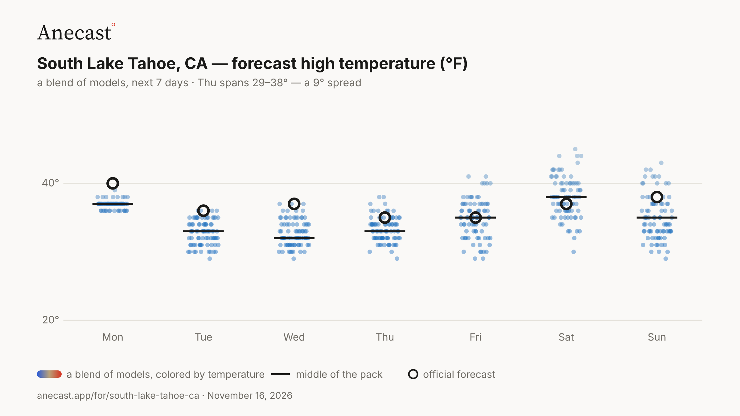
The models mostly agree this week. The widest day, Thu, spans 29–38°.
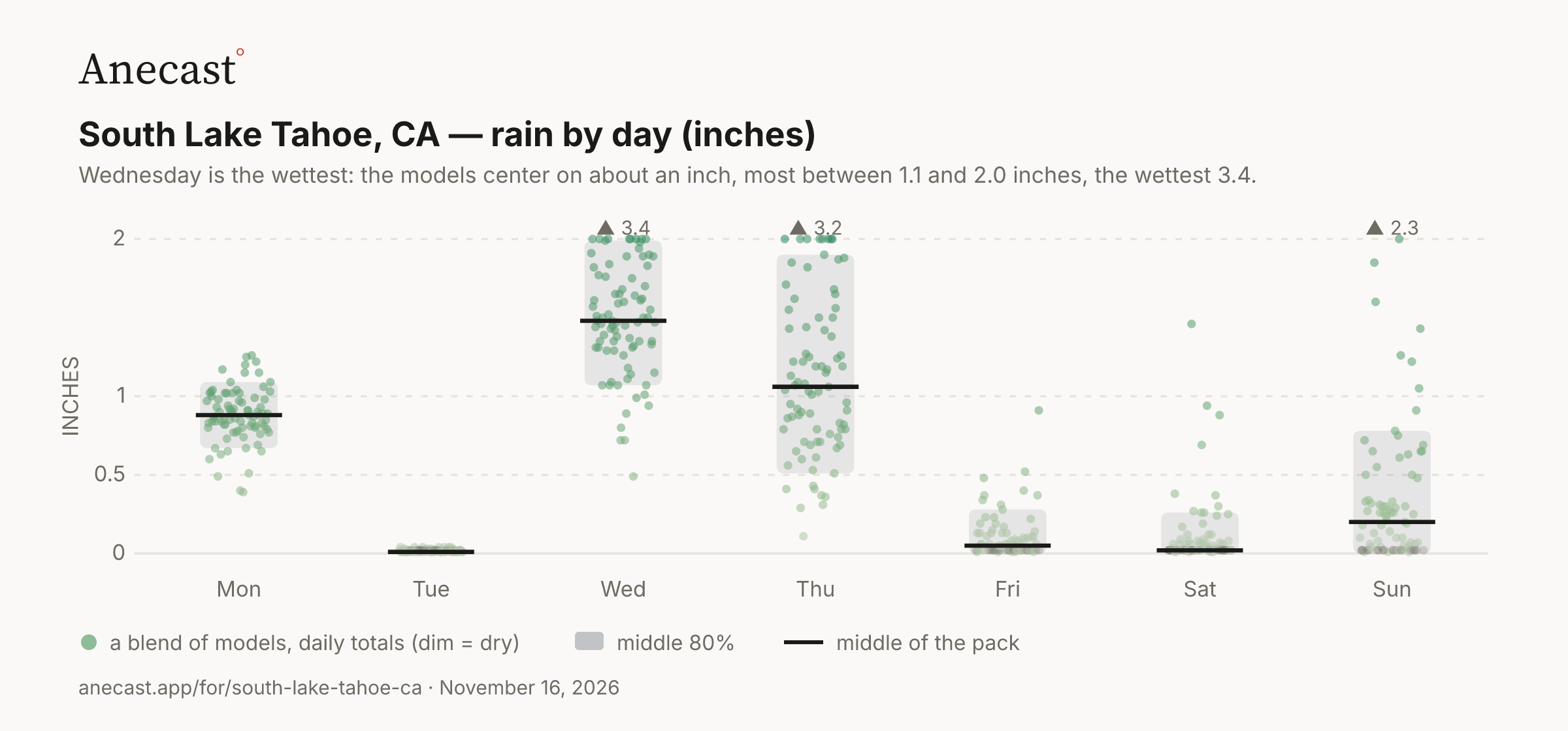
Wednesday is the wettest: the models center on about an inch, most between 1.1 and 2.0 inches, the wettest 3.4.
| Stat | Value | Year(s) |
|---|---|---|
| record high for day | 66.9 | 1995 |
| record low for day | 6.1 | 1994 |
| average high for day | 49.6 | — |
| average low for day | 24 | — |
| warmest low for day | 42.1 | 2006 |
| coldest high for day | 32 | 2000 |
| largest temp swing for day | 41 | 1998 |
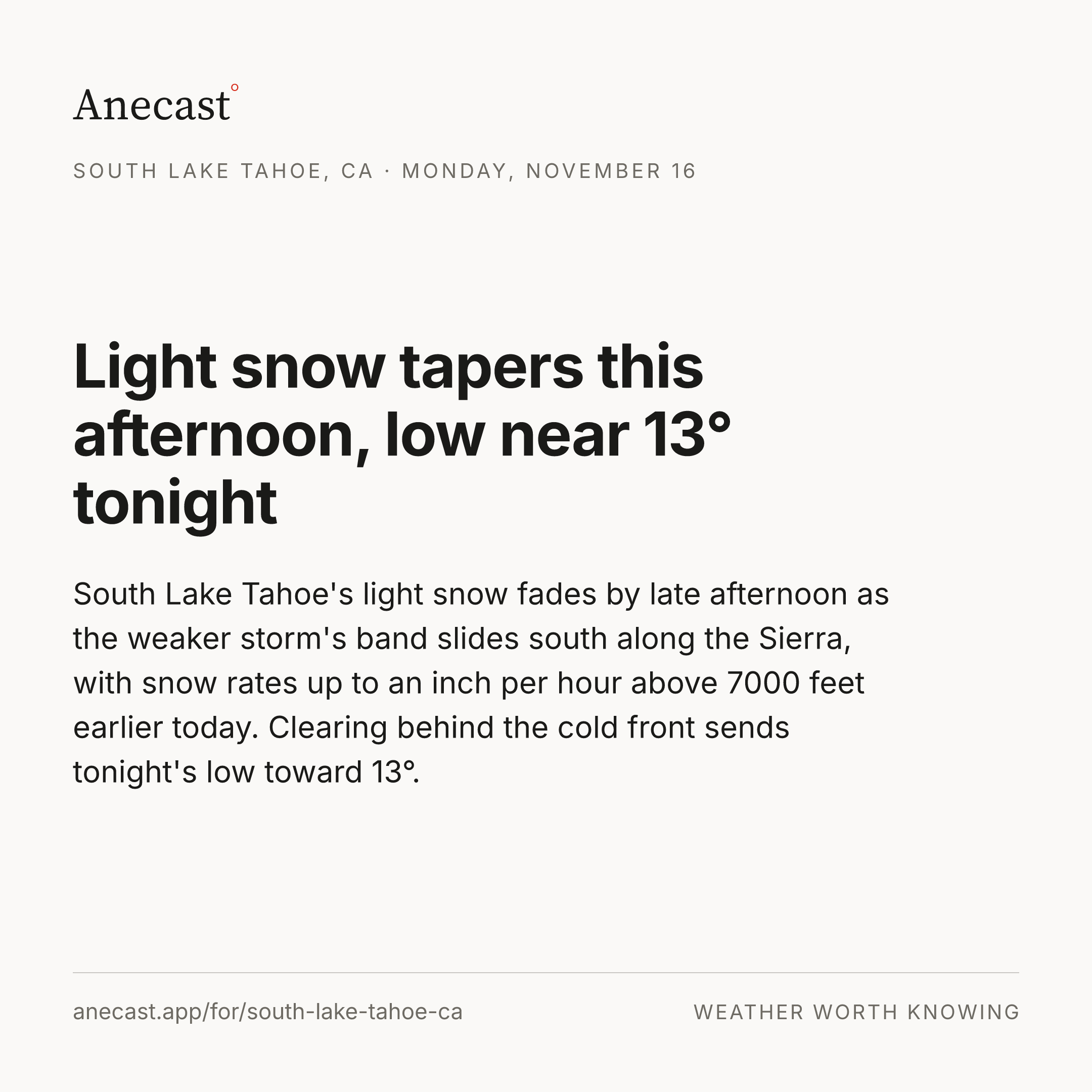
South Lake Tahoe's light snow fades by late afternoon as the weaker storm's band slides south along the Sierra, with snow rates up to an inch per hour above 7000 feet earlier today. Clearing behind the cold front sends tonight's low toward 13°.
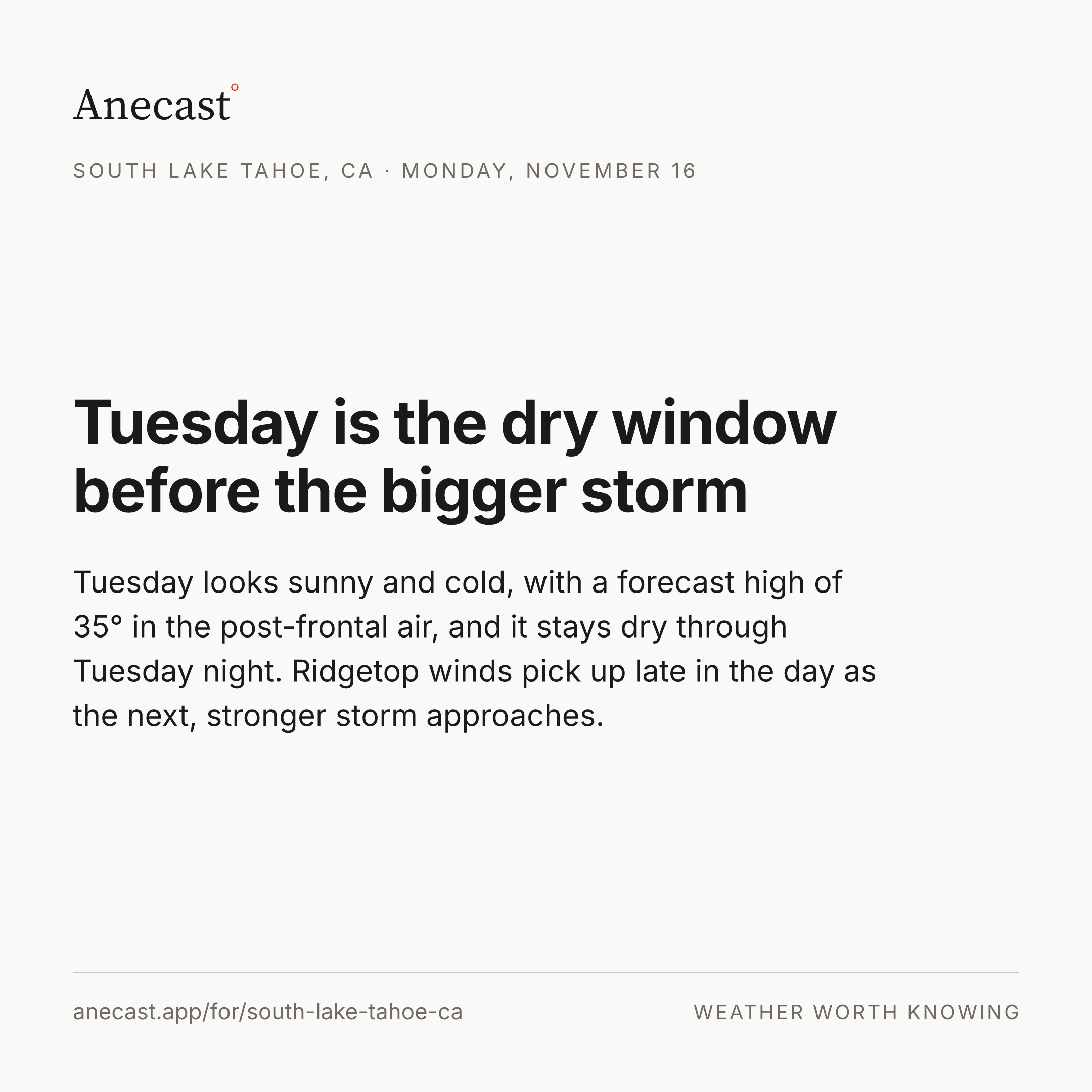
Tuesday looks sunny and cold, with a forecast high of 35° in the post-frontal air, and it stays dry through Tuesday night. Ridgetop winds pick up late in the day as the next, stronger storm approaches.
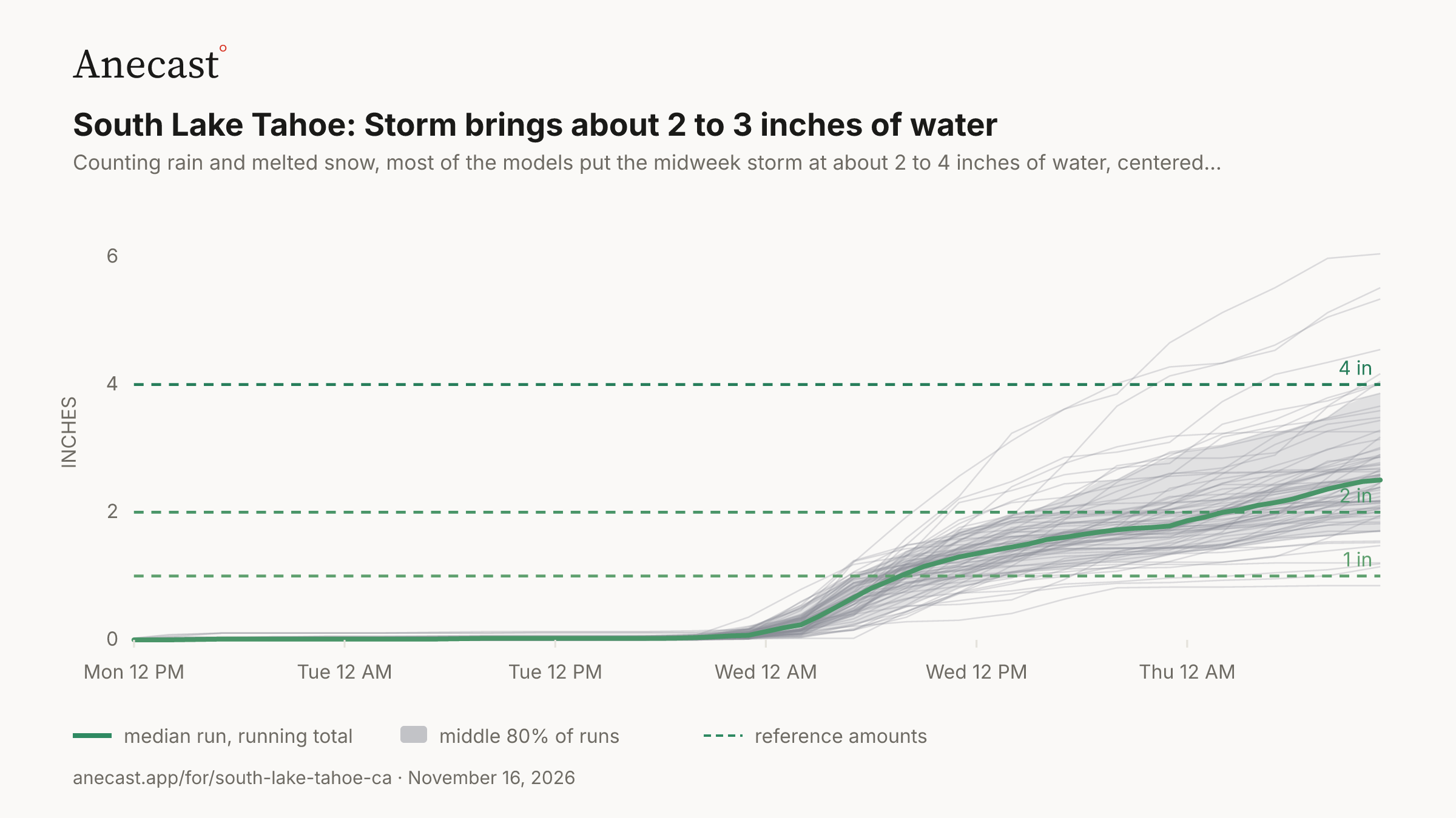
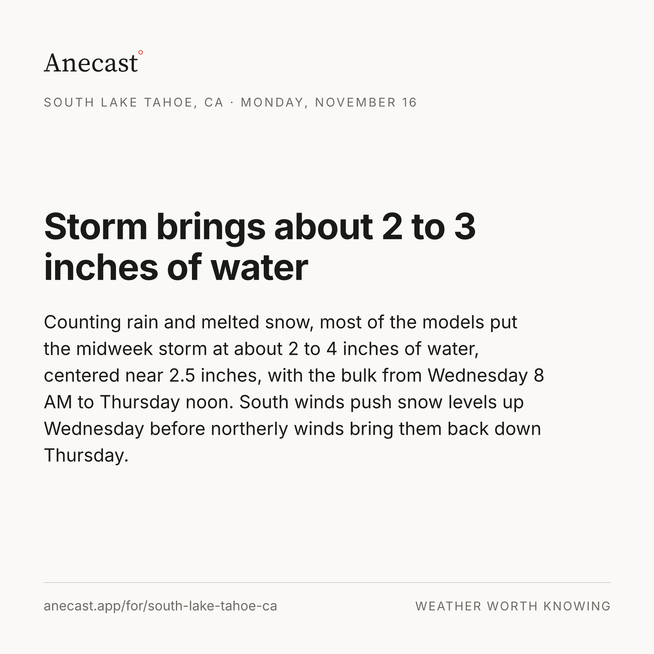
Counting rain and melted snow, most of the models put the midweek storm at about 2 to 4 inches of water, centered near 2.5 inches, with the bulk from Wednesday 8 AM to Thursday noon. South winds push snow levels up Wednesday before northerly winds bring them back down Thursday.
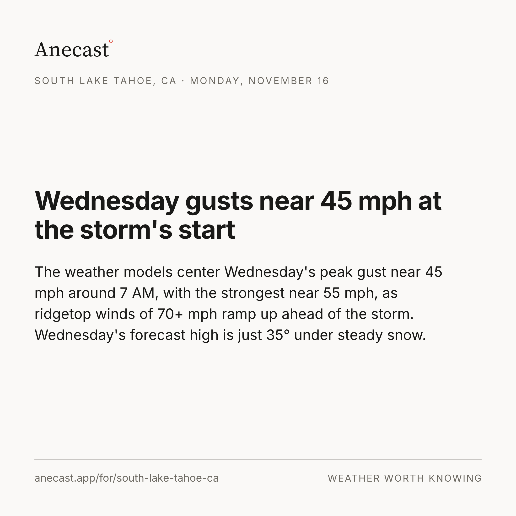
The weather models center Wednesday's peak gust near 45 mph around 7 AM, with the strongest near 55 mph, as ridgetop winds of 70+ mph ramp up ahead of the storm. Wednesday's forecast high is just 35° under steady snow.
‹How our forecasts did · this week›
Know when South Lake Tahoe's forecast changes
Missing your city?