54°cloudy
Your day
A cold, gray morning gave way to a cool, partly sunny afternoon, and the evening turns clear and chilly. A warm layer for tonight is worth having.
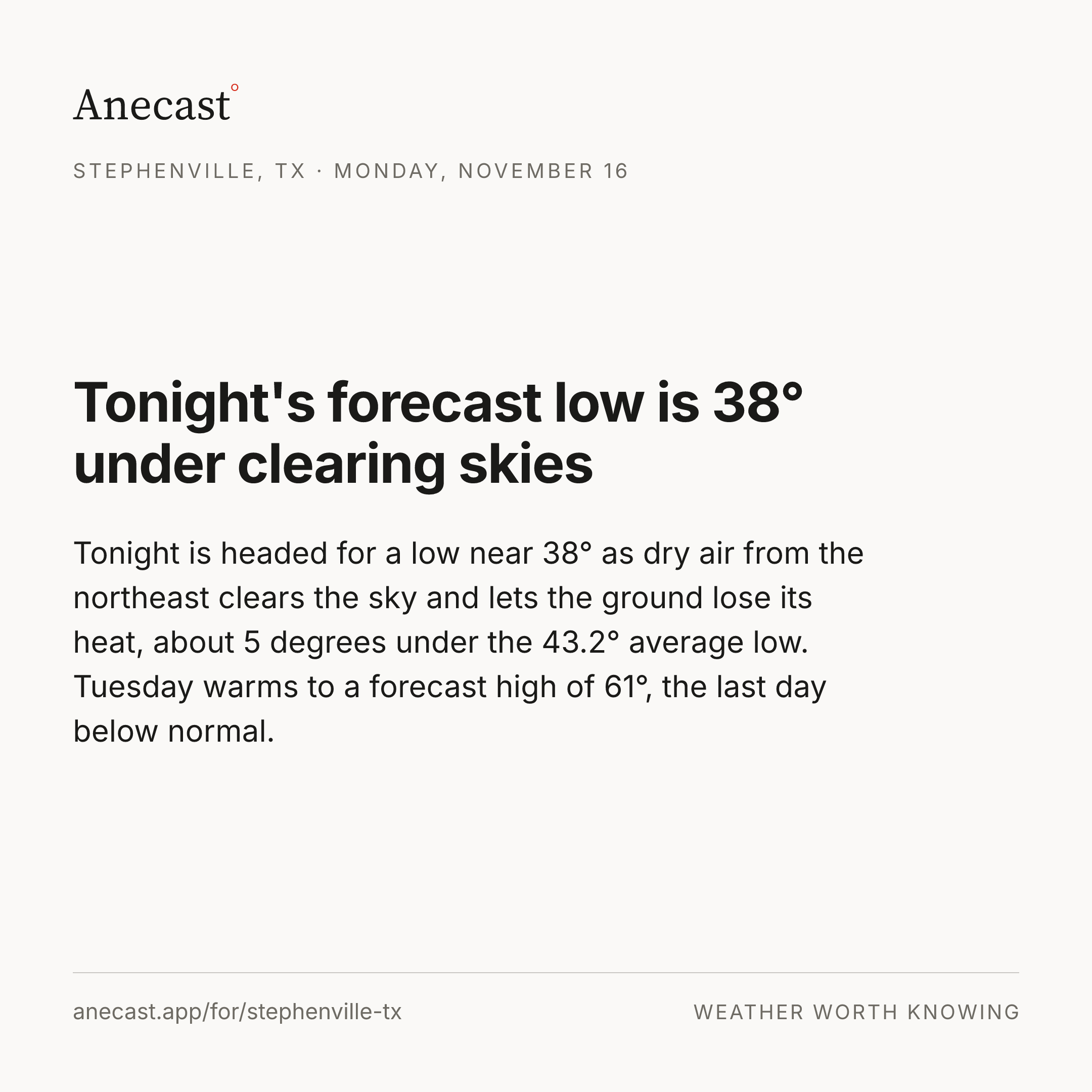
Tonight is headed for a low near 38° as dry air from the northeast clears the sky and lets the ground lose its heat, about 5 degrees under the 43.2° average low. Tuesday warms to a forecast high of 61°, the last day below normal.
Forecast changes since this morning
Changed since yesterday
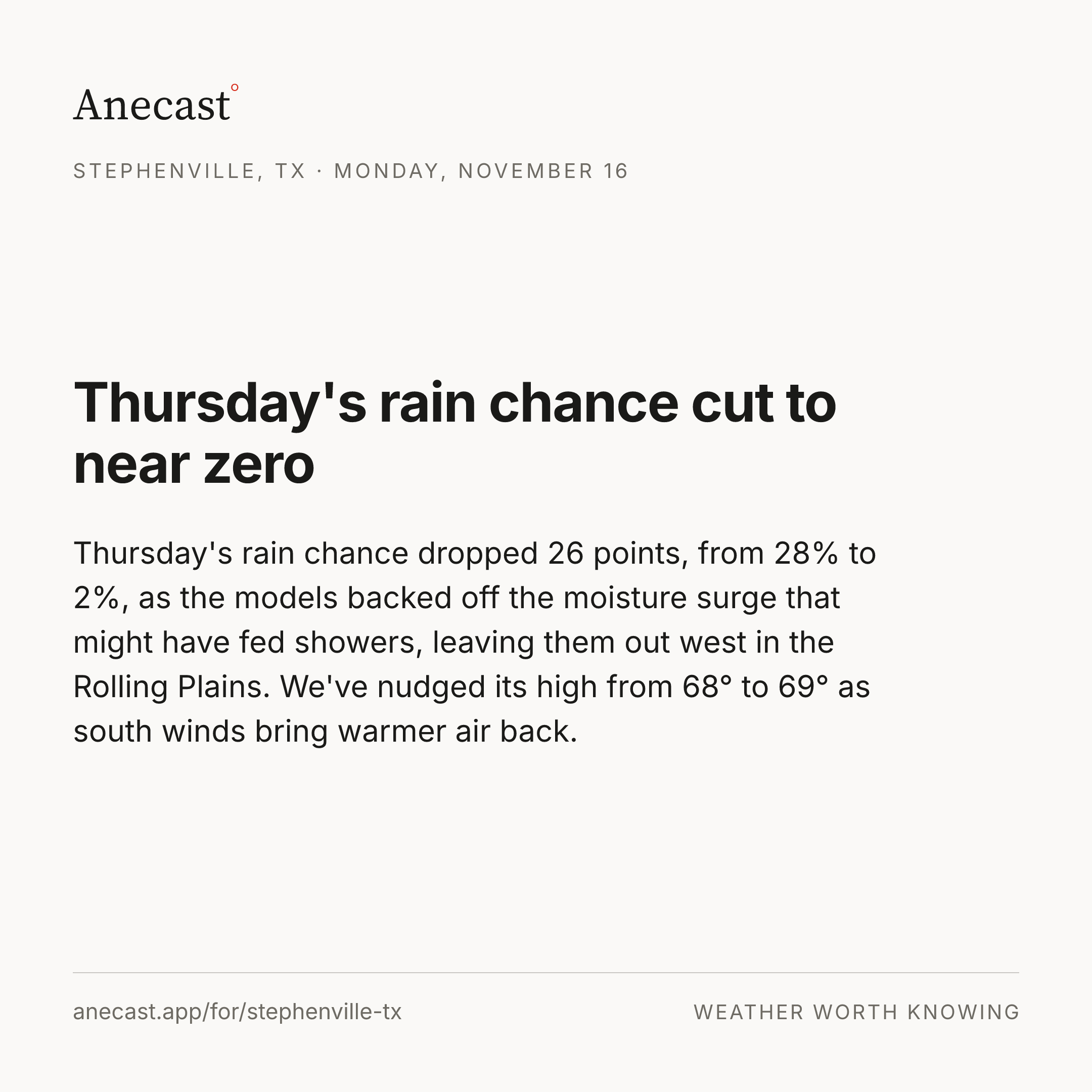
Thursday's rain chance dropped from 28% to 2% since yesterday — Thursday's rain chance cut to near zero
Next five days · the Anecast forecast
| Mon | Tue | Wed | Thu | Fri | |
|---|---|---|---|---|---|
| High | 55° | 61° | 65° | 69° | 71° |
| Low | 40° | 42° | 50° | 54° | 57° |
| Precip | 0% | 0% | 0% | 2% | 10% |
| Wind (mph) | 0–5 | 0–5 | 0–10 | 0–10 | 25gusts |
The week, as the models see it
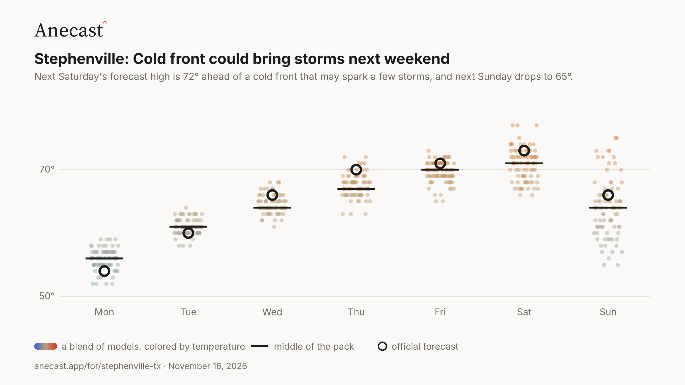
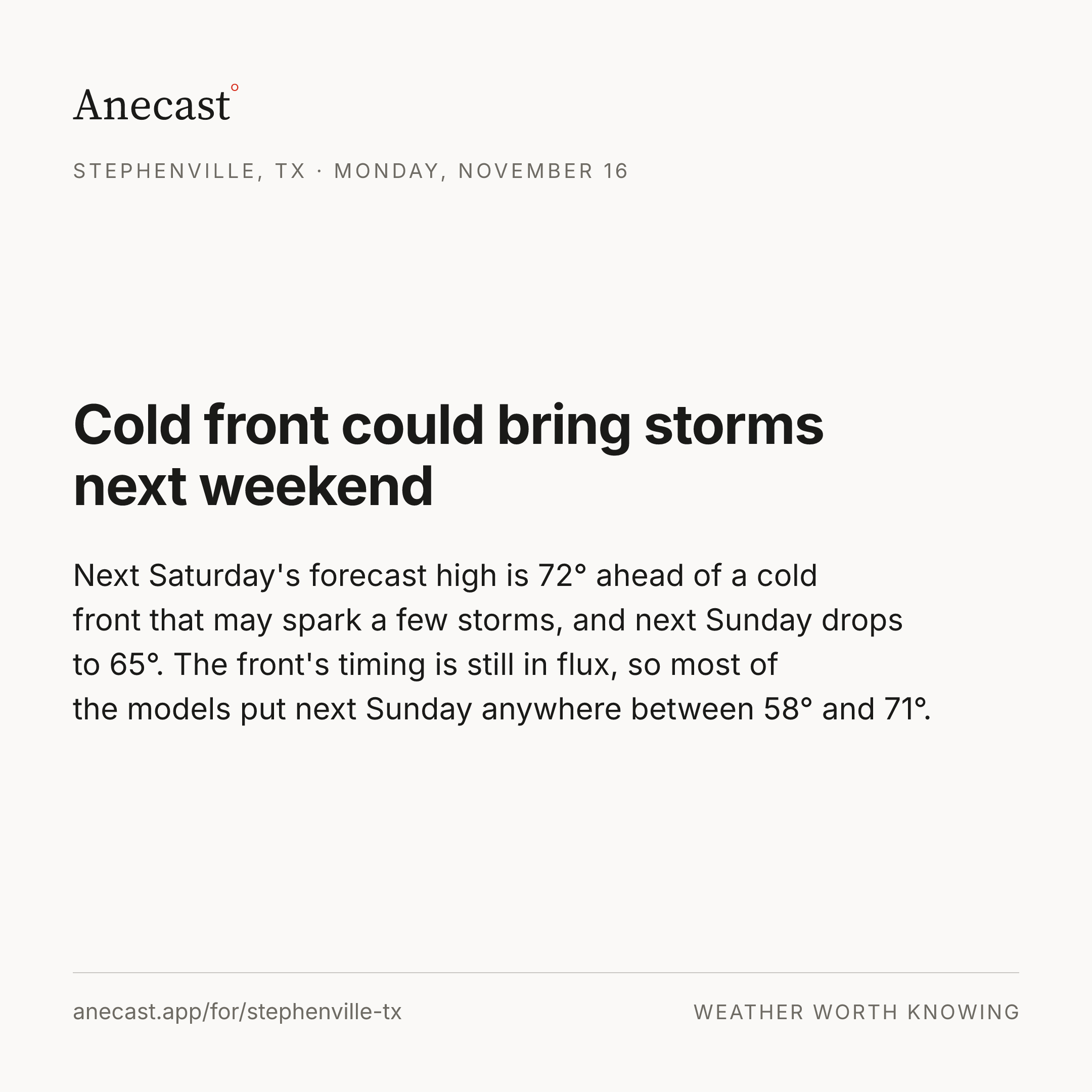
Cold front could bring storms next weekend — the models span 52–59° on Mon, most near 56°.
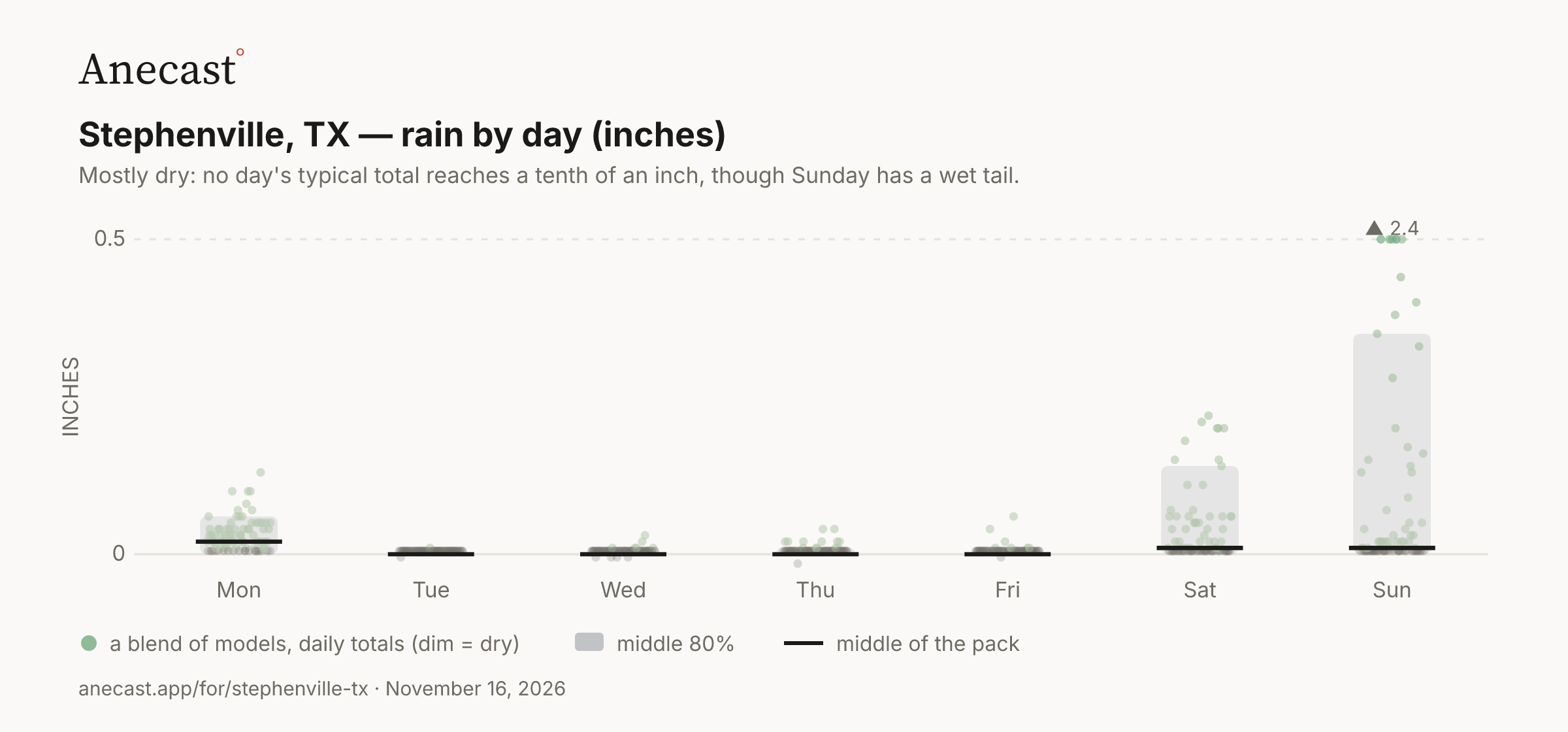
Mostly dry: no day's typical total reaches a tenth of an inch, though Sunday has a wet tail.
| Stat | Value | Year(s) |
|---|---|---|
| record high for day | 87.1 | 1921, 2025 |
| record low for day | 18 | 1959 |
| average high for day | 66.2 | — |
| average low for day | 43.2 | — |
| warmest low for day | 64.9 | 1952 |
| coldest high for day | 36 | 1976 |
| largest temp swing for day | 46 | 1959 |
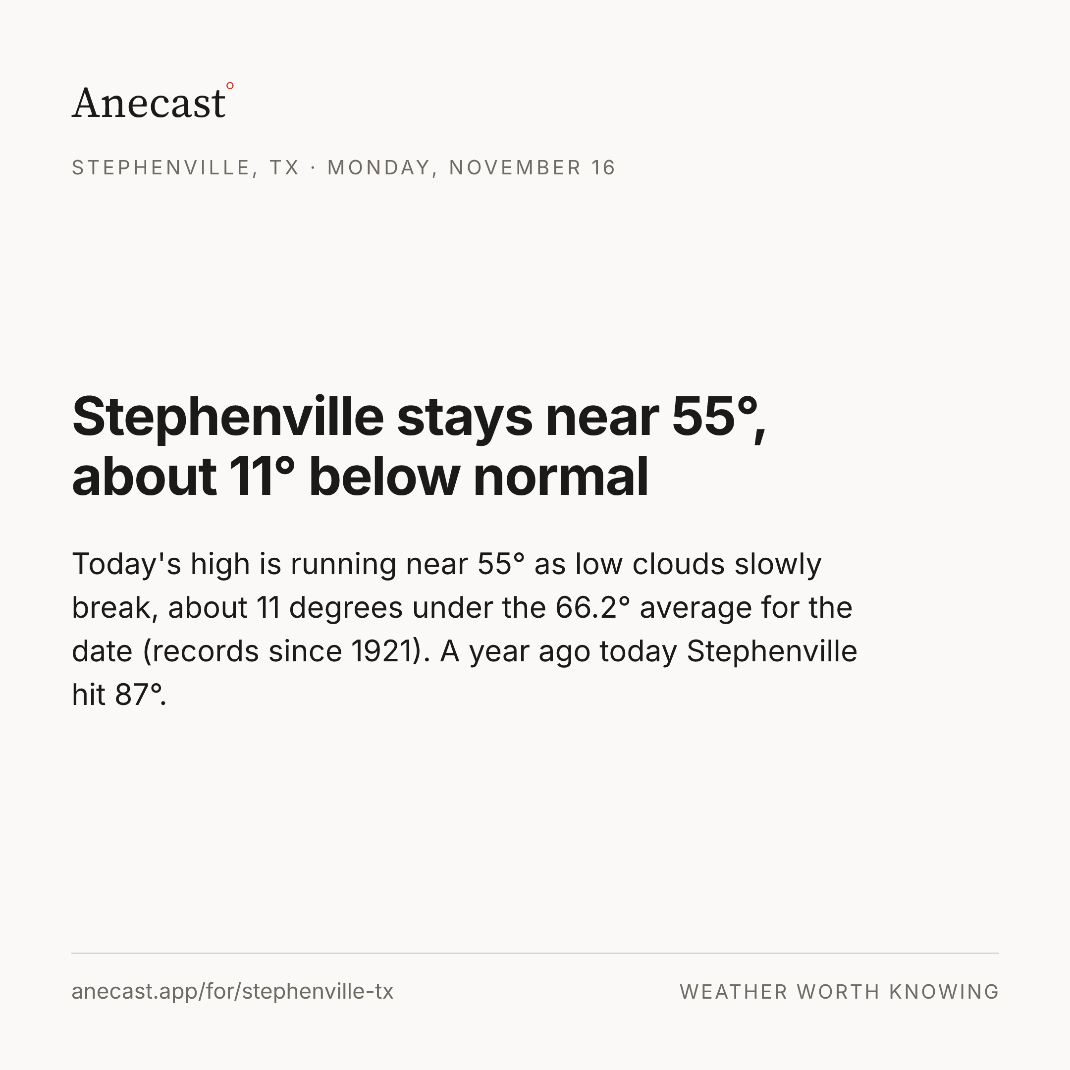
Today's high is running near 55° as low clouds slowly break, about 11 degrees under the 66.2° average for the date (records since 1921). A year ago today Stephenville hit 87°.
Thursday's rain chance dropped 26 points, from 28% to 2%, as the models backed off the moisture surge that might have fed showers, leaving them out west in the Rolling Plains. We've nudged its high from 68° to 69° as south winds bring warmer air back.
Next Saturday's forecast high is 72° ahead of a cold front that may spark a few storms, and next Sunday drops to 65°. The front's timing is still in flux, so most of the models put next Sunday anywhere between 58° and 71°.
Know when Stephenville's forecast changes
Missing your city?