- Arlington, VA
- Atlanta, GA
- Austin, TX
- Baltimore, MD
- Birmingham, AL
- Bluffton, SC
- Boston, MA
- Boulder, CO
- Castle Rock, CO
- Centennial, CO
- Chicago, IL
- Cleveland, OH
- Colorado Springs, CO
- Dallas, TX
- Denver, CO
- Destin, FL
- Elizabeth, CO
- Fort Collins, CO
- Foxfield, CO
- Golden, CO
- Great Falls, MT
- Greeley, CO
- Highlands Ranch, CO
- Hilton Head Island, SC
- Larkspur, CO
- Las Vegas, NV
- Los Angeles, CA
- Miami, FL
- New Orleans, LA
- New York, NY
- Pensacola, FL
- Philadelphia, PA
- Pittsburgh, PA
- Plano, TX
- Provincetown, MA
- Rehoboth Beach, DE
- Richmond, VA
- Rochester, NY
- Salt Lake City, UT
- San Diego, CA
- San Francisco, CA
- Santa Fe, NM
- Savannah, GA
- Seattle, WA
- Sebastopol, CA
- South Lake Tahoe, CA
- Steamboat Springs, CO
- Stephenville, TX
- Tybee Island, GA
- Ukiah, CA
- Washington, DC
Greeley, CO
37°cloudy
Your day
A frigid start with a few flakes possible, then cool and mostly sunny by afternoon and freezing after dark. Any snow is very low-impact and gone by noon.
Narrow snowband could dust Greeley this morning
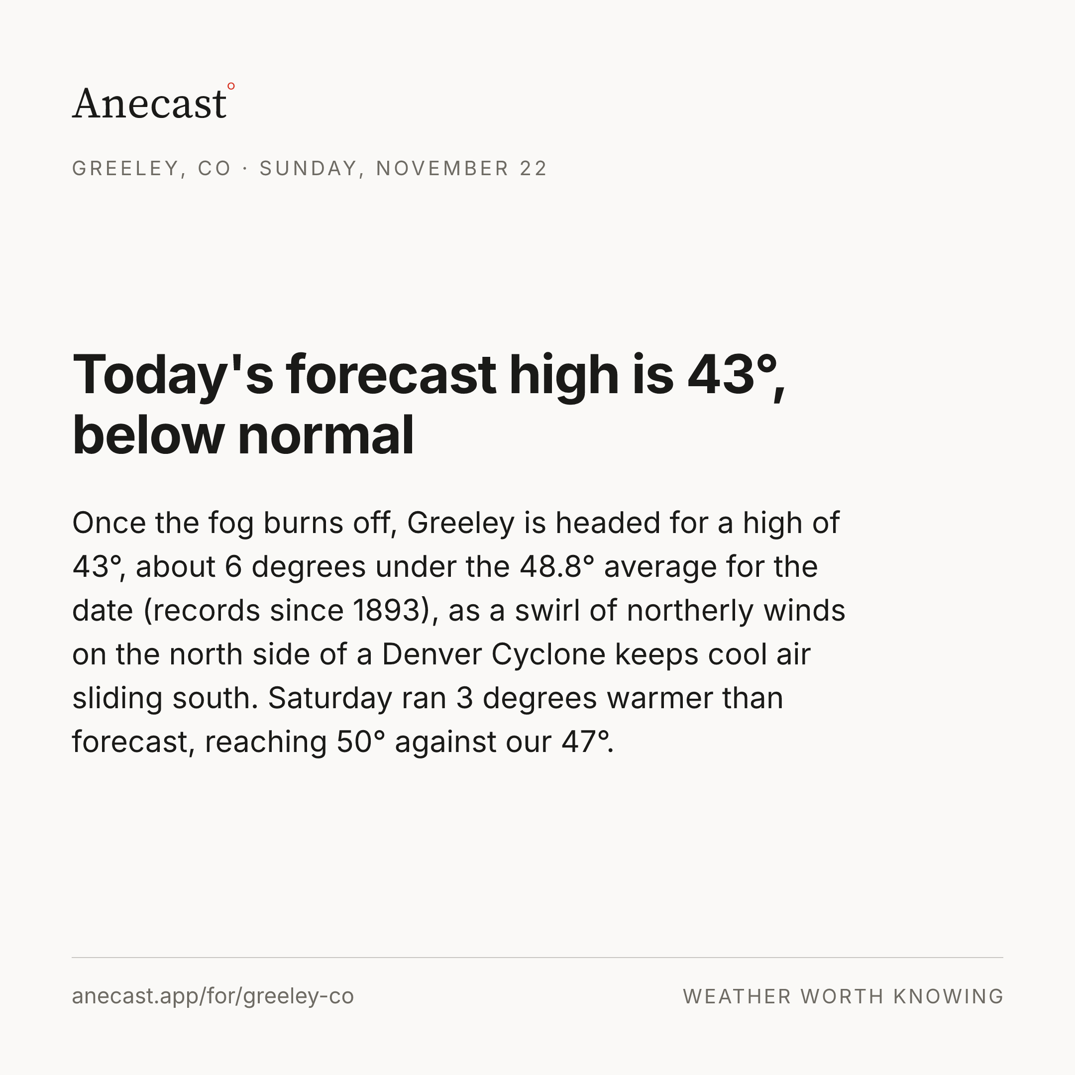
A thin band of light snow may form this morning along a strip of mid-level lift stretching from the central mountains across the Denver area, but dry air near the ground has to be overcome first, and the morning snow chance peaks at 23%. Any band exits by around noon, and today's high reaches about 47°, close to the 49.5° average for the date.
Right now


The week ahead
Changed since yesterday
Holding steady — no day's high or rain chance moved since yesterday's edition.
Next five days · the Anecast forecast
| Sat | Sun | Mon | Tue | Wed | |
|---|---|---|---|---|---|
| High | 47° | 43° | 43° | 46° | 48° |
| Low | 22° | 23° | 24° | 23° | 26° |
| Precip | ❄ 23% | 0% | 11% | 1% | 0% |
| Wind (mph) | 2–6 | 0–6 | 2–6 | 0–6 | 3 |
The week, as the models see it
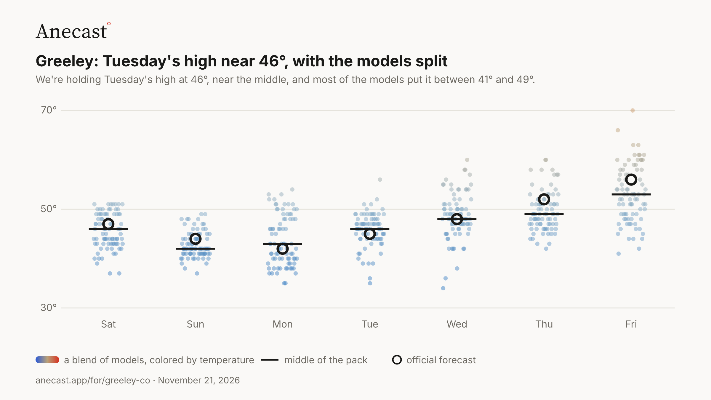
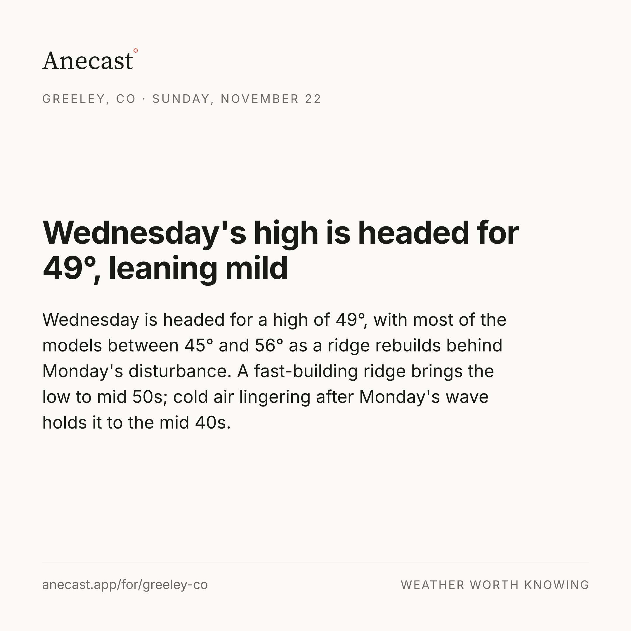
Tuesday's high near 46°, with the models split — the models span 35–56° on Tue, most near 46°.
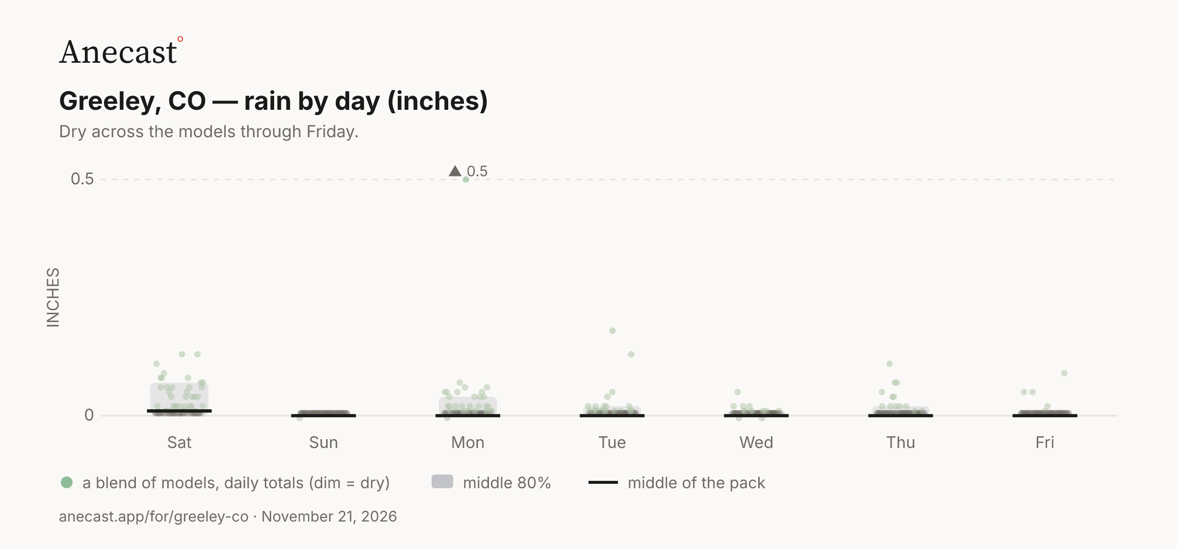
Dry across the models through Friday.
Today in station history (7 stats, records back decades)
| Stat | Value | Year(s) |
|---|---|---|
| record high for day | 73 | 1897 |
| record low for day | -2 | 1947 |
| average high for day | 49.5 | — |
| average low for day | 20.4 | — |
| warmest low for day | 39.9 | 1893, 2025 |
| coldest high for day | 12 | 1929 |
| largest temp swing for day | 54 | 1900 |
Also worth knowing
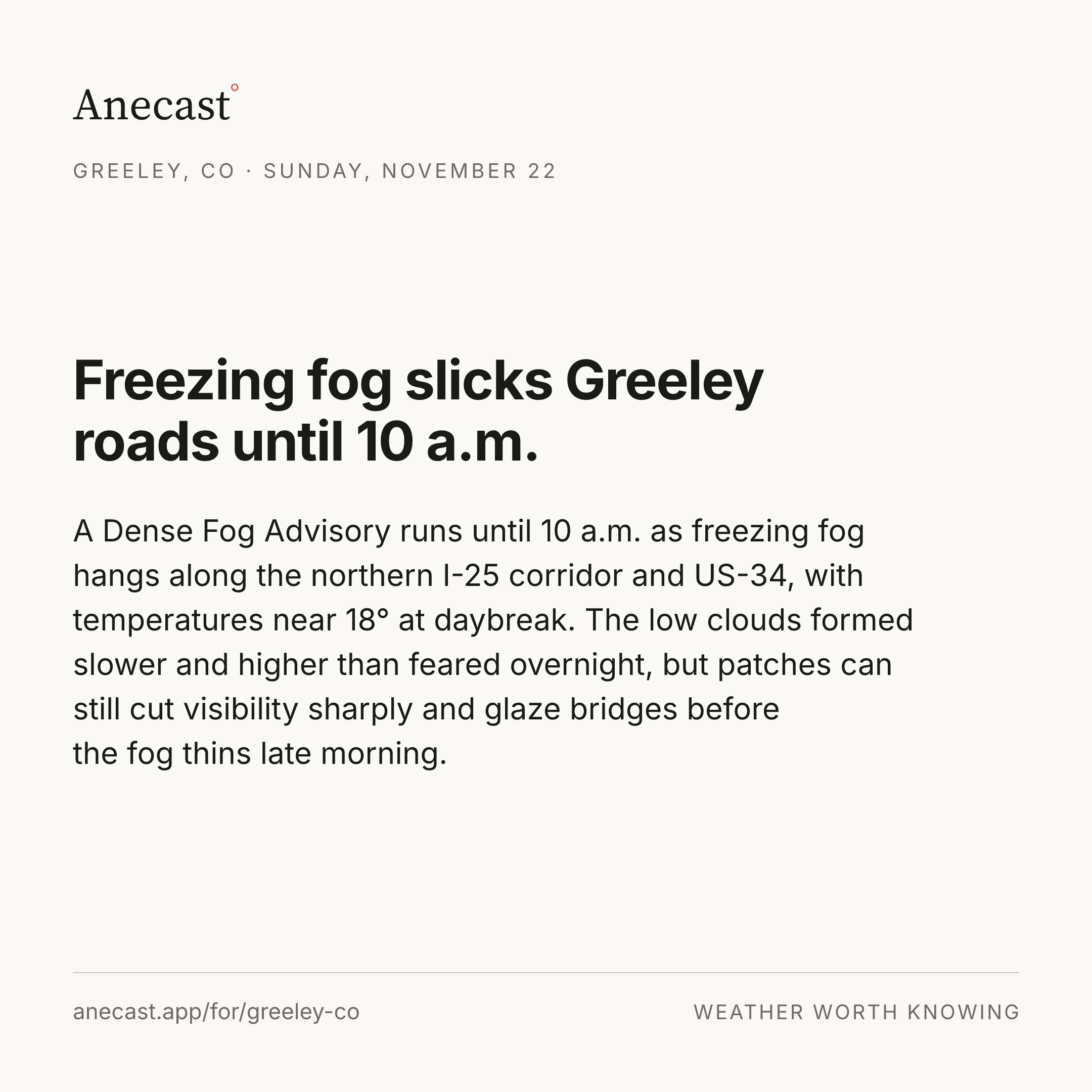
Sunday morning drops to a forecast low of 18°
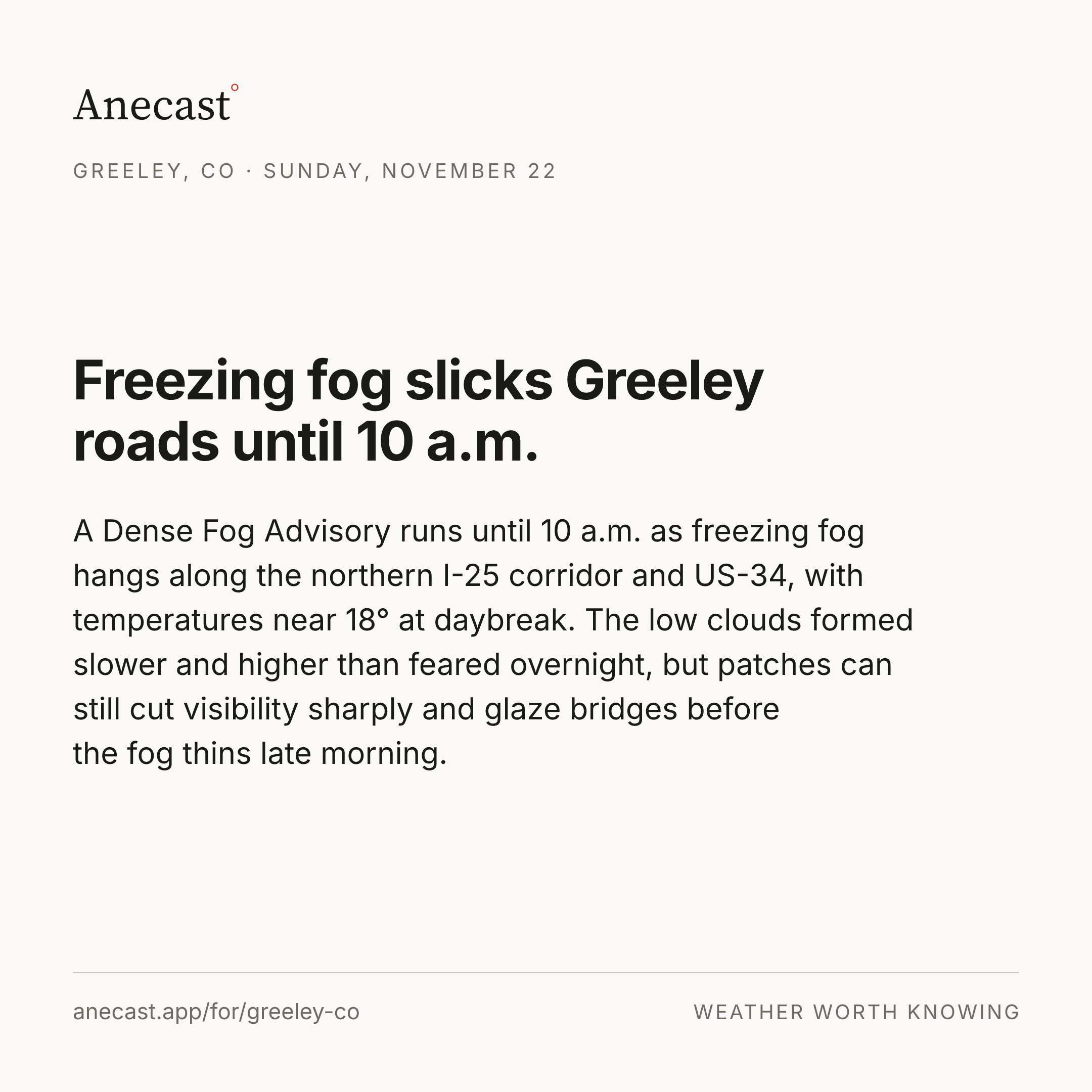
Clearing skies tonight let Greeley fall to a forecast low of 18° by Sunday morning, a couple degrees below the 20.4° average low for the date, and freezing fog may form over the northeast plains. Sunday's high is headed for 43° as high clouds spread in from the west ahead of the next disturbance.
Tuesday's high near 46°, with the models split
We're holding Tuesday's high at 46°, near the middle, and most of the models put it between 41° and 49°. It hinges on how fast Monday evening's weakening trough clears out: a lingering, colder air mass keeps the low 40s, while a quick exit and sunshine push toward the upper 40s.
Late-week highs trend toward 55°
The cool stretch looks to ease late next week as the longer-range pattern trends drier and warmer, with next Friday's forecast high at 55°. Only a few weak disturbances look likely, bringing mountain snow and a few flakes at best on the plains.
Yesterday's receipt
Keeping score
‹How our forecasts did · this week›
Know when Greeley's forecast changes
Missing your city?