- Arlington, VA
- Atlanta, GA
- Austin, TX
- Baltimore, MD
- Birmingham, AL
- Bluffton, SC
- Boston, MA
- Boulder, CO
- Castle Rock, CO
- Centennial, CO
- Chicago, IL
- Cleveland, OH
- Colorado Springs, CO
- Dallas, TX
- Denver, CO
- Destin, FL
- Elizabeth, CO
- Fort Collins, CO
- Foxfield, CO
- Golden, CO
- Great Falls, MT
- Greeley, CO
- Highlands Ranch, CO
- Hilton Head Island, SC
- Larkspur, CO
- Las Vegas, NV
- Los Angeles, CA
- Miami, FL
- New Orleans, LA
- New York, NY
- Pensacola, FL
- Philadelphia, PA
- Pittsburgh, PA
- Plano, TX
- Provincetown, MA
- Rehoboth Beach, DE
- Richmond, VA
- Rochester, NY
- Salt Lake City, UT
- San Diego, CA
- San Francisco, CA
- Santa Fe, NM
- Savannah, GA
- Seattle, WA
- Sebastopol, CA
- South Lake Tahoe, CA
- Steamboat Springs, CO
- Stephenville, TX
- Tybee Island, GA
- Ukiah, CA
- Washington, DC
Santa Fe, NM
34°mostly clear
Your day
Snow showers possible from morning through afternoon with highs only near 40°, then clear and freezing by evening. Brief slick spots and low visibility may develop in the higher terrain.”.
Cold front brings snow showers, high near 40°
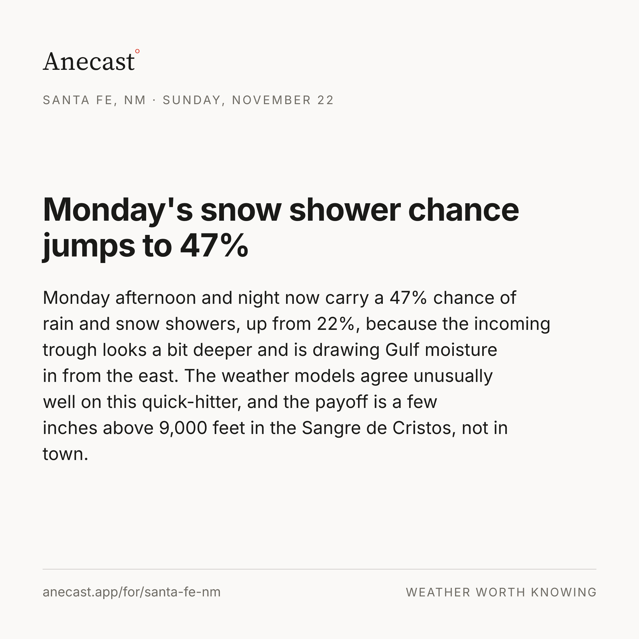
The cold front is now over Santa Fe, and today's high is headed for just 40°, about 10 degrees below the 49.8° average for the date. The snow chance has nearly doubled since yesterday, from 24% to 46%, as the front briefly strengthens over the mountains, though most of the models leave the city under an inch.
Right now


The week ahead
Changed since yesterday
Next five days · the Anecast forecast
| Sat | Sun | Mon | Tue | Wed | |
|---|---|---|---|---|---|
| High | 40° | 43° | 44° | 44° | 46° |
| Low | 25° | 27° | 28° | 27° | 30° |
| Precip | ❄ 46% | 1% | ❄ 22% | 0% | 5% |
| Wind (mph) | 5–15 | 5–10 | 5–10 | 0–15 | 5 |
The week, as the models see it
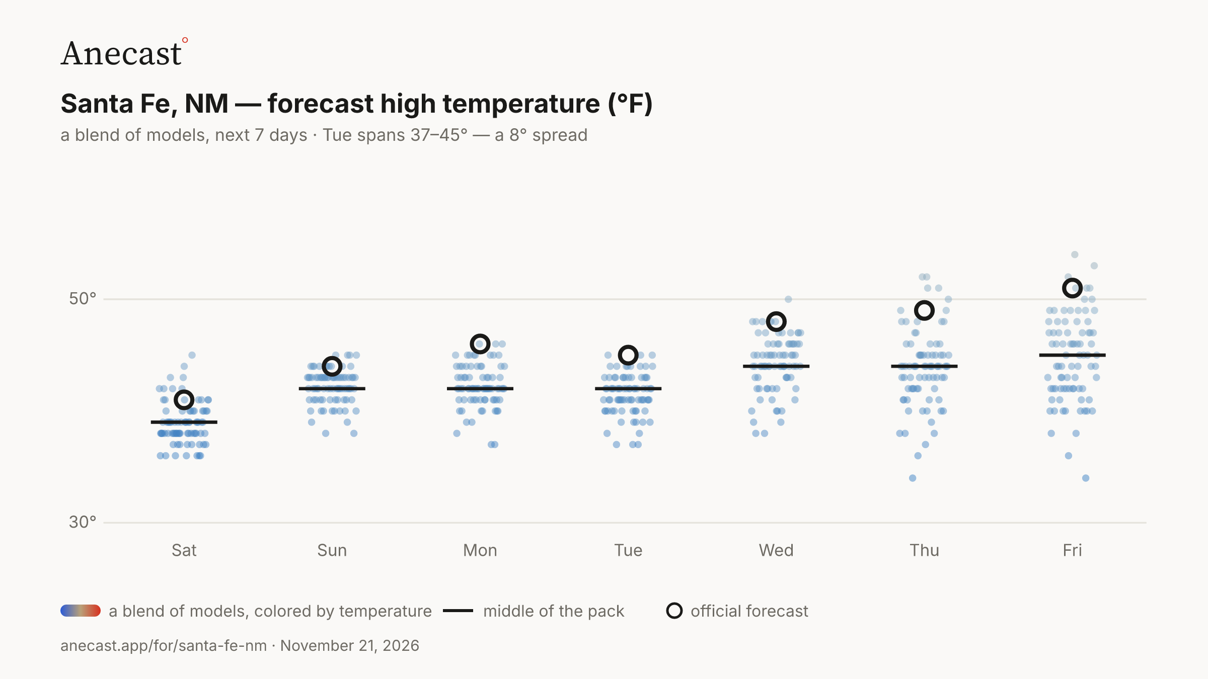
The models mostly agree this week. The widest day, Tue, spans 37–45°.
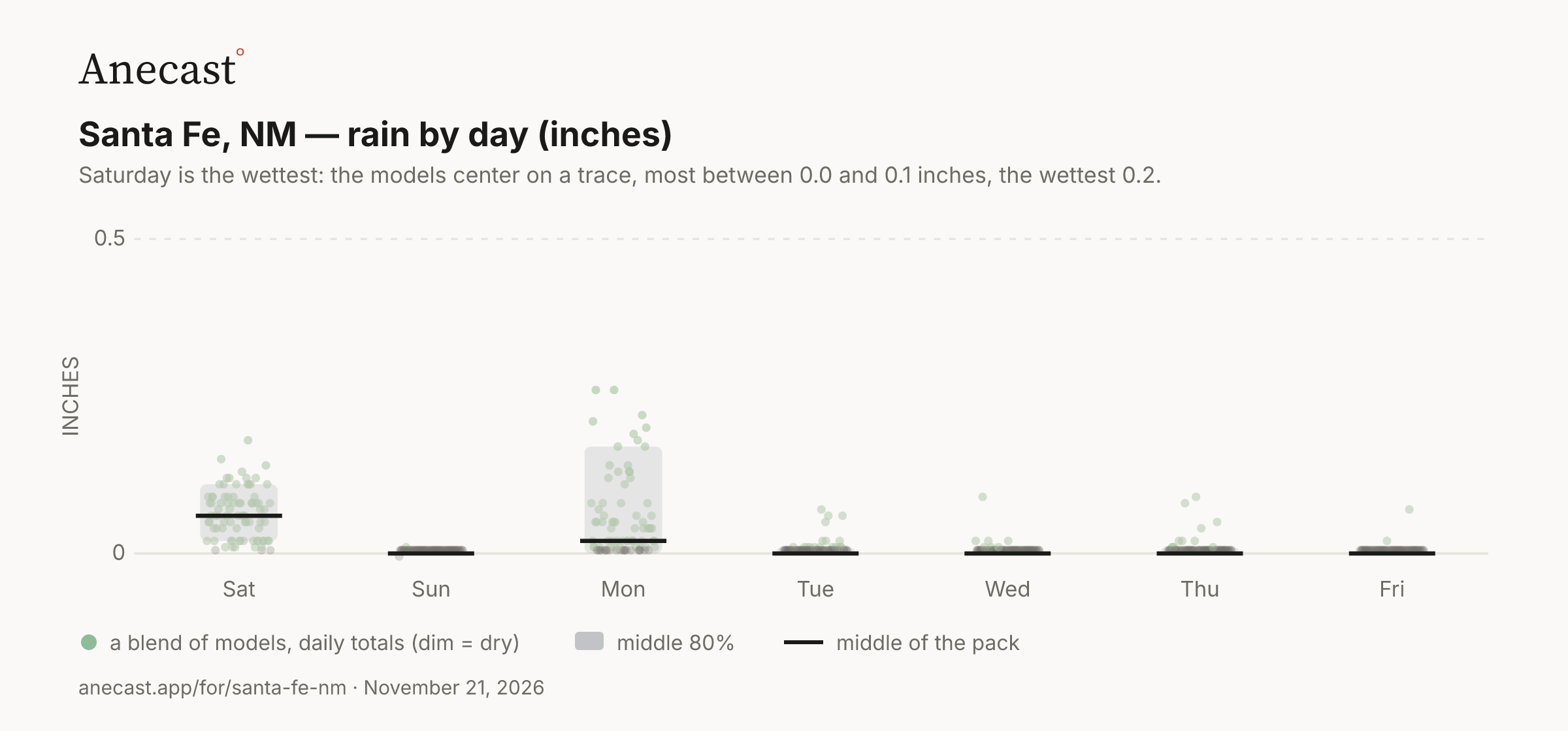
Saturday is the wettest: the models center on a trace, most between 0.0 and 0.1 inches, the wettest 0.2.
Today in station history (7 stats, records back decades)
| Stat | Value | Year(s) |
|---|---|---|
| record high for day | 66.9 | 1878 |
| record low for day | 9 | 1945 |
| average high for day | 49.8 | — |
| average low for day | 26.1 | — |
| warmest low for day | 46.9 | 1902 |
| coldest high for day | 25 | 1929 |
| largest temp swing for day | 46 | 1949 |
Also worth knowing
Sangre de Cristo slopes could see 5 inches
The quick burst of snow favors the high country: the Jemez and Sangre de Cristos generally pick up less than 2 inches, but the southwest slopes above 10,000 feet could reach 5 inches in a snowier outcome. Today's date has a snowfall record of only 3.5 inches, set in 1953 (records since 1874).
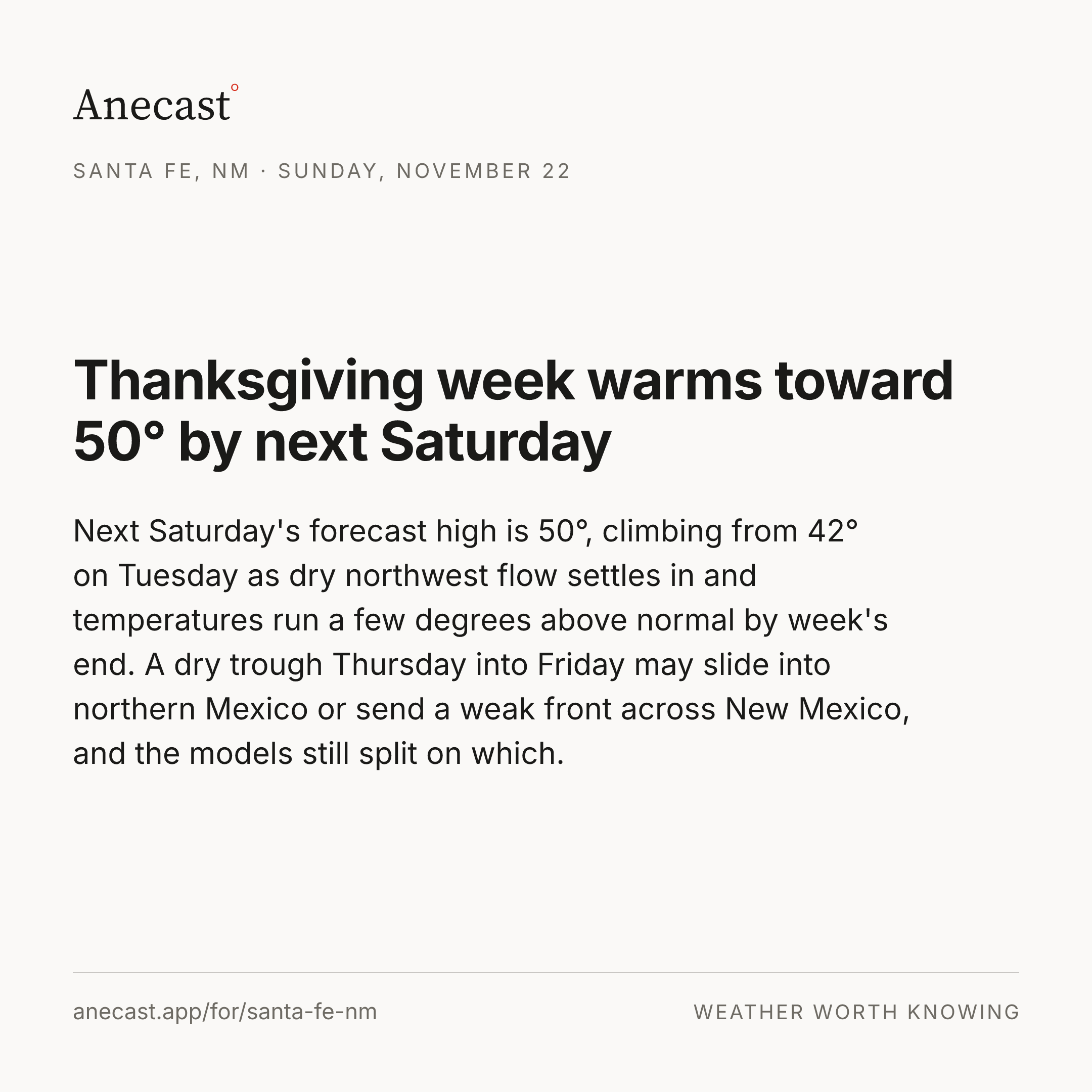
Thanksgiving high raised from 44° to 47°
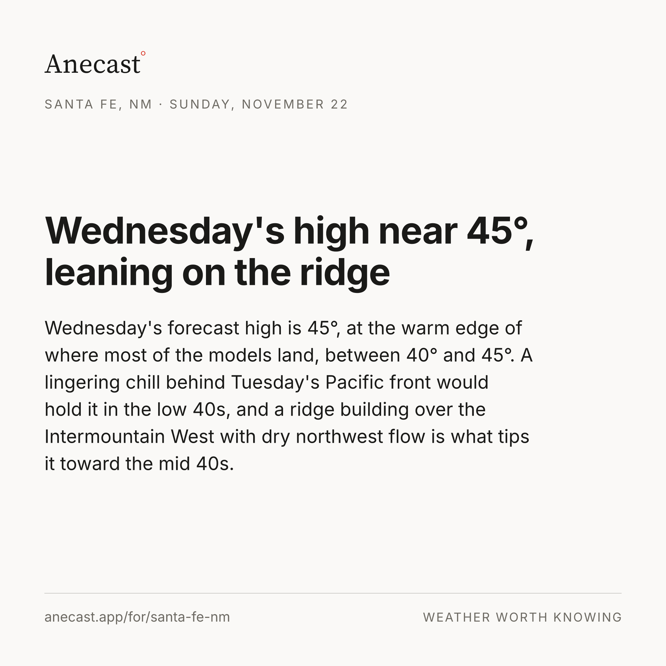
We've bumped Thanksgiving Day's high from 44° to 47° as a ridge rebuilds midweek, and the rain chance fell from 18% to 5%. The late-week trough looks more like a dry cold front than a storm in most of the models.
Yesterday's receipt
Keeping score
Know when Santa Fe's forecast changes
Missing your city?